I camped at High Laning campsite in Dent on a very pleasant sunny evening, and next day walked a circuit from Dent along the ridge of Aye Gill Pike.
 |
| View from High Laning campsite |

Although the ridge isn't marked on OS maps as a footpath, it is on access land. There are footpath signs throughout its length and stiles over all walls and fences.
 |
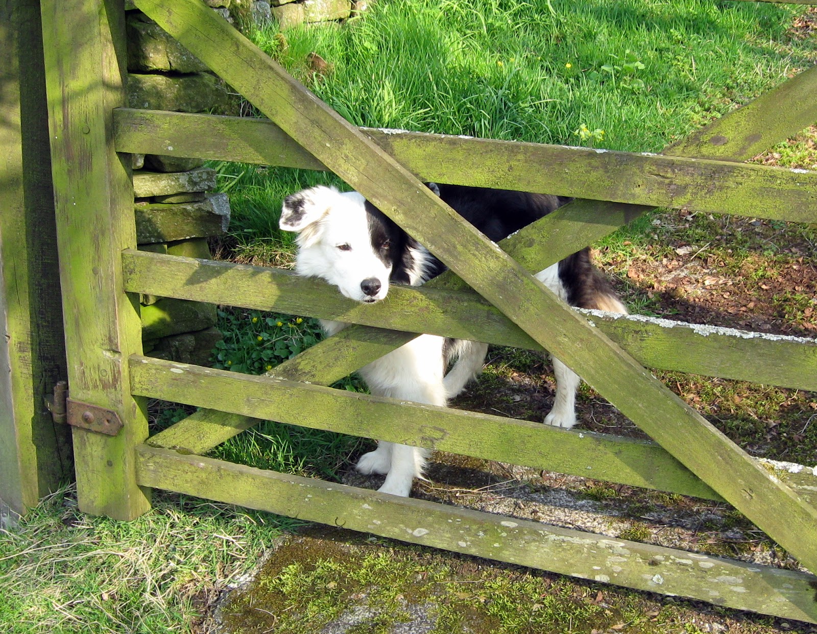
| Gate on Dales Way |
 |
| Mire House |
Stopping at the village shop in Dent to buy some pasties for lunch, I walked down to the river Dee, following the Dales Way heading West through numerous fields and gates to Ellers, where I took the footbridge across the river and followed the path up through Mire House, Craggs Farm and Hewthwaite, picking up the Dales Way again.
Before reaching Millthrop, there are good views of Sedbergh, in front of the Howgills.
 |
| Sedbergh and the Howgills |
Turning East just before Millthrop, I followed a footpath that became increasingly indistinct, taking a bearing East across Frostrow to pick up a bridleway on the far side. This section was quite boggy and hard going. A shorter alternative route (shown in green on the map), would avoid this "off path" section.
 |
| Aye Gill Pike |
From the end of the bridleway, it is a simple matter of following the wall up to the summit of Aye Gill Pike.
 |
| Cowgill Church |
From the summit, I followed the wall East to Snaizwold Fell, then followed a ruined wall down to a track which runs past Cowgill Church, and to the Dales Way at Ewegales.
I then followed the Dales Way all the way back to Dent.
 |
| That will teach them! |
 |
| River Dee |

 |
| Enjoying a well-earned retirement from show business |


No comments:
Post a Comment